GIS LAYERS TOOL
GIS Layers Tool — For Infrastructure Inventory and Management
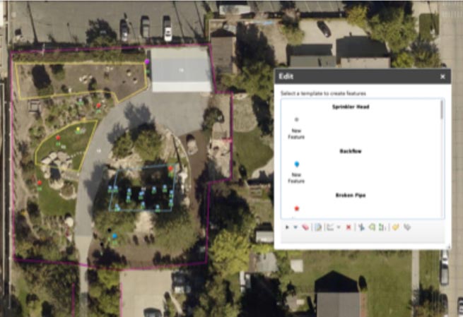
GIS Mapping Layers can be used independently or with the Water Check programs and other tools to deliver data for additional insight.
With the addition of geographical information, you can map irrigation systems for enhanced data visualization and analysis. This allows customers to identify the exact location of problems, which makes it easier for them to make repairs and improvements and contribute to the overall conservation effort. This tool is already developed for irrigation, and the indoor version is in development.


